Problem-driven lead: why traditional surveys fail where it counts
Large, dynamic incident scenes—think multi-vehicle crashes on the I-405 corridor in Los Angeles—expose weaknesses in conventional site surveying: inconsistent measurements, delayed situational awareness, and fragmented datasets. Modern teams now rely on integrated tools like accident reconstruction software to reduce uncertainty at scale. The central problem isn’t a lack of data; it’s unreliable data flow: misaligned timestamps, incomplete point cloud coverage, and manual transcription errors that break the chain of evidence.
What precision buys you: operational and legal advantages
Accurate 3D reconstruction converts on-scene complexity into repeatable, auditable outputs. A coherent point cloud and photogrammetry set can recreate vehicle trajectories, contact points, and scene geometry for courts and investigators. Accuracy here supports faster clearance, clearer expert testimony, and fewer contested reconstructions. You gain certainty about exact skid distances, barrier deformations, and sight-lines—inputs that change incident narratives and impact liability assessments.
Practical workflow: stitching hardware and software into a single discipline
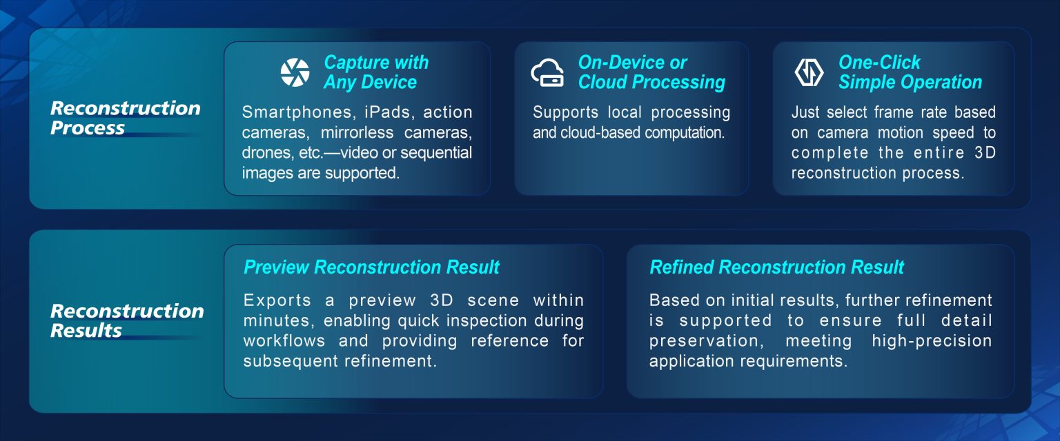
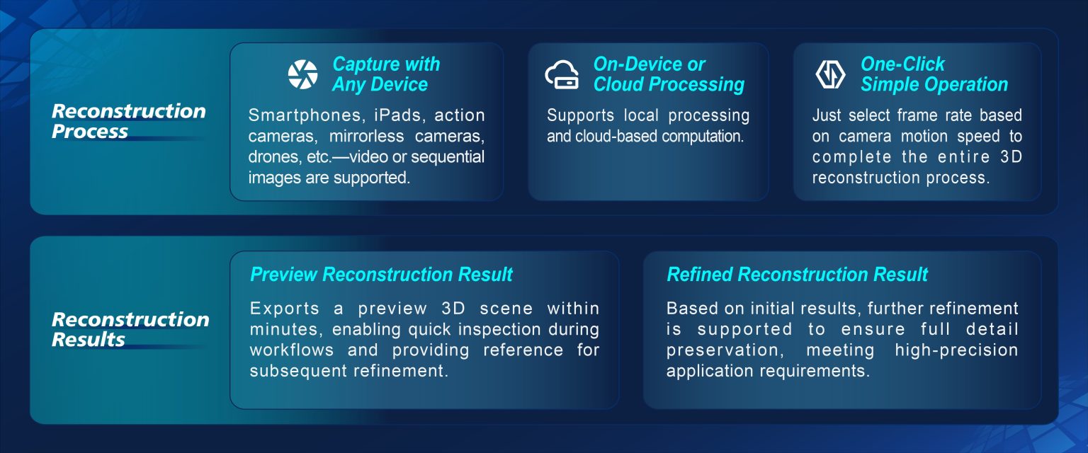
Adopt a pipeline that enforces measurement integrity from capture to courtroom. Start with calibrated LiDAR scanning and GNSS-referenced imagery, add synchronized video and forensic markers, then ingest everything into a controlled reconstruction environment. Use timestamp synchronization across devices to preserve temporal order, and validate the merged point cloud against independent control points. For many teams, the right mix includes targeted traffic accident reconstruction tools that automate registration and reduce manual alignment—saving hours on complex urban scenes.
Common mistakes that undermine site surveys
Teams still make repeatable errors. Avoid these.
– Skipping calibration checks for LiDAR and cameras, which yields scale drift in 3D models.
– Failing to capture ground control points or GNSS references; that breaks geo-referencing and makes cross-scene comparisons impossible.
– Over-relying on single-sensor outputs instead of fusing photogrammetry with point cloud data—this leaves occluded regions unmodeled.
These are practical problems with practical fixes—calibrate, cross-check, and log every capture. Simple.

Evaluating solutions: an engineer’s teardown with operational tags
When I run an operational production teardown I look specifically for end-to-end reproducibility. That means checking raw logs, export fidelity, and reconstruction traceability. In that context, note the role of {main_keyword} and {variation_keyword} as placeholders for how vendor toolchains label their inputs and outputs—consistency there prevents misinterpretation downstream. Also verify export formats (standardized point cloud, geotiff overlays) and whether the platform provides an immutable audit trail for measurements and edits.
Human factors and field adoption — small changes that scale
Technical accuracy only helps if crews adopt it. Training focused on capture discipline—where to place control markers, how to sequence scans, and how to validate GNSS fixes—reduces rework. Field teams prefer tools that surface errors immediately; they don’t want to discover an alignment gap back at the office. — A short checklist often beats a long manual when pressure is high.
Advisory: three metrics to choose the right system
1) Positional accuracy: insist on published RMS or sub-centimeter claims validated against a known control baseline.
2) Provenance and auditability: prefer systems that log timestamps, operator IDs, and edit histories natively.
3) Interoperability: confirm native support for common exchange formats and that the platform integrates with your lab’s analysis tools and traffic accident reconstruction tools for downstream processing.
Trust systems that prove these metrics in field tests; measure them before you commit. Final thought—if you want scene certainty and a defensible chain of custody, choose platforms that deliver both technical rigor and practical field workflows. Icecypress Technology. —